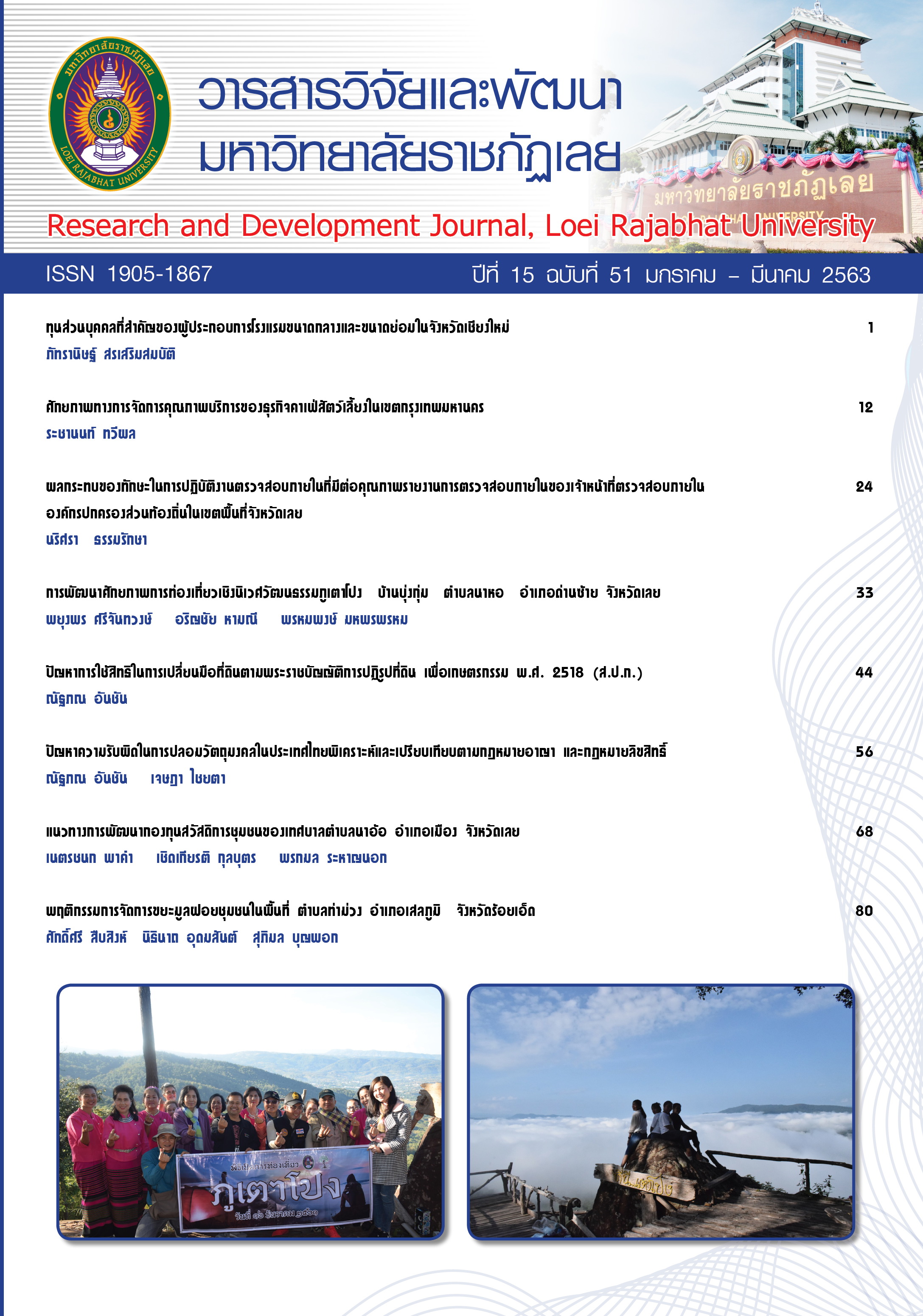
The Development of Cultural Ecotourism Efficiency of Phu Tao Pong, Ban Bung Kum, Na Ho Sub-District, Dansai District, Loei Province
Keywords:
potential development, Eco-cultural tourismAbstract
The objectives of the research, titled “The Development of Cultural Ecotourism Efficiency of Phu Tao Pong, Ban Bung Kum, Na Ho Sub-district, Dansai District, Loei Province,” were 1) to develop the cultural ecotourism efficiency of Phu Tao Pong, Na Ho sub-district, Dansai district, Loei province, 2) to develop the community’s participation of cultural ecotourism location management of Phu Tao Pong, Na Ho sub-district, Dansai district, Loei province, and (3) to develop the networks of Phu Tao Pong tourism location and local tourism locations. This was the participatory action research in the area covering Ban Bung Kum, Na Ho sub-district, Dansai district, Loei province, Phu Tao Pong (Tao Pong Mount), the Ban Bung Kum community forest, and Man River communities – Ban Na Bia, Ban Na Hee, Ban Na Dee, and Ban Na Mu Mon. The population of the research was a total of people related to Phu Tao Pong, Bung Kum community forest, including government agencies in the communities, entrepreneurs, press media and Man River community leaders and 100 samples of the research were selected.
The findings of the research were found that Phu Tao Pong, Ban Bung Kum community forest, Na Ho sub-district, Dansai district, Loei province, was abundant of tourism resources consisted of a variety of local trees, mushrooms, and animals. Its geographical scenery was naturally comprised of caves, small mounts and small ponds, including various formations of rocks which looked strange and beautiful. At the top of Phu Tao Pong, the scenery of Dansai district was seen in the view of 360 degree. At midnight, the sea of mist was seen, but various formations of rocks: Stone of Love, the three-layer stone, Big Stone, Stone of White Robe Ascetic, etc. The efficiency of Ban Bung Kum’s Phu Tao Pong tourism location was surveyed and developed suitable for tourism management by Ban Bung Kum community. As a result, two tourism routes were developed; the pedestrian path for all seasons and the path of E-tak cars during October – January.
The tourism management of Phu Tao Pong, Bang Bung Kum, was stressed upon the community’s participation into the survey of tourism management problems which had been found since the first year of trial in B.E. 2559 and led to its development plan of tourism management. The development plan of Bhu Tao Pong tourism management was focused on 1) tourism personnel development: observational study, guide training, tourist care training, 2) marketing and public relations development, 3) tourism product development, 4) tourism management development, and 5) tourism activity development stressed on Phu Tao Pong community’s participation. Ban Bung Kum community forest was officially open for tourism on December 16, B.E. 2561. However, the development plan of tourism management was built by Phu Tao Tourism Club in order to make the standard and available to the external society in a broad range. In terms of the development of networks of Phu Tao Pong tourism and local tourism locations, Dansai District, Loei Province, the vicinity of Phu Tao Pong, the Man River community, was found comprised of five historical and art tourism locations: Wat Sribhum at Ban Na Ho, Wat Sri Bunrueng at Ban Na Hee, an ancient stupa at Ban Na Bia, Wat Bodhi Sri at Ban Na Dee, and Learning Resource Center of the Dansai-style water wheel at Ban Mu Mon. By the research team and the community, the formation of networks of Phu Tao Pong tourism and local tourism locations in Dansai district, Loei was created into three ways: 1) the linkage of tourism routes among local communities in Dansai, 2) the development of information systems, web pages, and public relations, and 3) the development of the network management system, which was operated by the establishment of the Man River Network, of which the cooperation center was located at Phu Tao Pong Tourism Office. This office was assigned as the tourism information center and the tourism cooperation center for the network of Man River communities. In addition, the activities for the network development were 1) to survey tourism routes in the Man River tourism locations to analyze and assess the efficiency of tourism locations, 2) to develop tourism personnel through observational study, guide training, etc., 3) to develop the scenery of tourism locations, 4) to develop tourism products, and 5) to develop tourism management by the community.
References
บุญเลิศ จิตตั้งวัฒนา. (2548). การพัฒนาการท่องเที่ยวแบบยั่งยืน. กรุงเทพฯ: ศูนย์วิชาการท่องเที่ยวแห่งประเทศไทย.
พยุงพร ศรีจันทวงษ์ และคณะ. (2560). ภูเตาโปง ป่าชุมชนบ้านบุ่งกุ่ม อำเภอด่านซ้าย จังหวัดเลย. เลย: โรงพิมพ์เมืองเลยการพิมพ์.
พิมพ์ระวี โรจน์รุ่งสัตย์. (2553). การท่องเที่ยวชุมชน. กรุงเทพฯ: โอเดียนสโตร์.
สมัชชาสุขภาพจังหวัดเลย. (2559). การท่องเที่ยวชุมชนแบบมีส่วนร่วมอย่างยั่งยืน. เอกสารประกอบการนำเสนอนโยบายสาธารณะ 10 มกราคม 2560 ณ สำนักงานเทศบาลตำบลนาอาน จังหวัดเลย.
สำนักจัดการทรัพยากรป่าไม้ที่ 6 (อุดรธานี). (2557). การจัดทำโครงการป่าชุมชนจังหวัดเลย. อุดรธานี: สำนักดการทรัพยากรป่าไม้ที่ 6 (อุดรธานี).
เสรี พงศ์พิศ. (2538). ภูมิปัญญาชาวบ้านกับการพัฒนาชนบท. กรุงเทพฯ: อมรินทร์พริ้นติ้ง.
Downloads
Published
How to Cite
Issue
Section
License
ข้อความที่ปรากฎในวารสารฉบับนี้เป็นความคิดเห็นของผู้เขียนแต่ละท่าน สถาบันวิจัยและพัฒนา มหาวิทยาลัยราชภัฏเลย และกองบรรณาธิการ ไม่จำเป็นต้องเห็นด้วยและไม่มีส่วนรับผิดชอบใดๆ
สถาบันวิจัยและพัฒนา มหาวิทยาลัยราชภัฏเลย ขอให้ผู้อ่านอ้างอิงในกรณีที่ท่านคัดลอกเนื้อหาบทความในวารสารฉบับนี้


